
Trace a Rockaway Township Street
An address search starts with the address, but the durable evidence is the parcel. Use the Tax Board to choose a tax year and Rockaway Township district, then enter the required street name and an optional house number. Record the resulting block and lot. That parcel key can be checked in county GIS and used with the Clerk’s recorded-party index. Only after the address and parcel agree should a researcher consider an individual voter-status check or a historical directory entry.
- Normalize the address with its legal municipality, postal city, ZIP, suffix, and any unit information.
- Search the Tax Board by property location and record the tax year, block, lot, and any qualification code.
- Use Morris GIS to view the parcel, nearby street segment, PIN, tax sheet, and mapped context.
- Search the current tax owner in the Clerk’s Party tab, then inspect the deed’s date, grantor, legal description, and parcel references.
- Check an individual voter status only with the person’s name and month/year of birth, then use historical directories for older address context.
Owner and occupant are not interchangeable terms. A tax record can identify who owns a parcel, while a deed identifies parties to a recorded transaction. Neither creates a complete list of people using an address.
Rockaway Township Tax Board Street Search
The Morris County Tax Board is the leading address route for Rockaway Township street research. Its Search Tax Records portal offers property-location, owner, current block-and-lot, and prior-block-and-lot modes. Property searching requires both a tax year and district, with Rockaway Township selected from the district list. Street name is required on the location route; a house number is optional. The inspected year menu runs from 2000 through 2026.
| Tax Board field | Type | Required | By-address use |
|---|---|---|---|
| Property tax year | Dropdown | Yes | Select an inspected year from 2026 to 2000. |
| Property district | Dropdown | Yes | Choose Rockaway Township. |
| House number | Text | No | Narrows a street result. |
| Street name | Text | Yes | Required location-search key. |
| Owner | Text | Yes on owner route | Cross-checks a candidate parcel. |
| Block / lot / qual code | Text | Block and lot required on parcel route | Uses the tax parcel identity. |
| Prior block / prior lot | Text | Yes on prior route | Bridges a prior parcel description. |
Tax Board map data is provided as-is, can be revised, and is not a boundary survey. A current property result should be treated as a path to the parcel, not as final proof of title or a list of residents.
Rockaway Township GIS Street Layers
The Morris County Parcel Searcher, also called MCPRIMA, helps turn a Rockaway Township street result into parcel context. Its quick search accepts municipality, owner name, street address, or parcel ID. More Search Options, Map and Results views, layer switching, filters, Advanced Data Search, and parcel clicks support a close read of one street segment. The result can supply keys such as Block, Lot, QualificationCode, PAMS_PIN, and TaxSheet for comparison with the Tax Board and Clerk.
The Morris County Parcel Searcher displays the county map interface used to explore a Rockaway Township street.
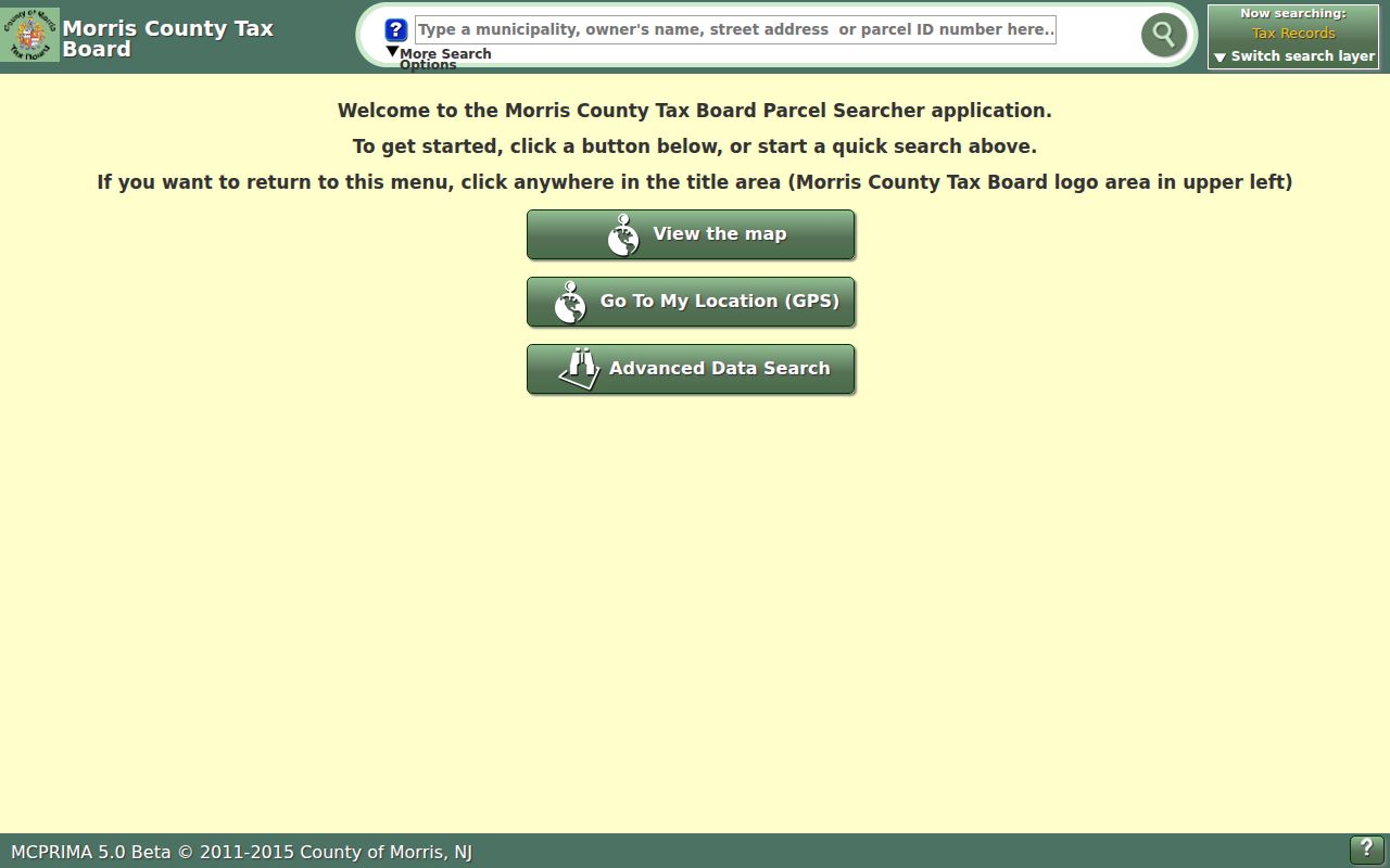
Use the map to navigate a street and collect parcel identifiers, then confirm current ownership through the Tax Board or Clerk.
MCPRIMA is labeled 5.0 Beta and carries a 2011-2015 underlying-data label, with full functionality not always available. Its Buffer in Feet, Clear Buffers, and Submit controls can show nearby parcel geometry, but a buffer does not establish occupancy or a social relationship. The service is a geographic aid, not a title record.
Rockaway Township Situs and Mail
A useful address record has two address columns. The situs address is the parcel’s physical location. A mailing address is where the tax owner receives correspondence, and it may be elsewhere. Preserve both labels when a tax card displays them. Doing so prevents the mailing address from being mistaken for the Rockaway Township street location and prevents an owner from being described as a current occupant without evidence.
- Parcel
- A unit of taxable land tied to a block, lot, and map geometry.
- Situs address
- The physical address where the parcel is mapped.
- Plat or subdivision map
- A recorded map that can connect changing address language to a legal parcel description.
- Criss-cross directory
- An address-arranged directory; no verified Rockaway Township volume has been identified.
When a street name is old, unclear, or tied to a changed parcel, use current and prior block/lot values, the PAMS PIN, the tax sheet, and the legal description. Those keys are more durable than a street spelling alone. Keep the source date with every Rockaway Township address-record note.
Rockaway Township Deeds After 1960
The Morris County Clerk’s online property index reaches back to 1960. For a Rockaway Township parcel, search the tax owner in the Party tab and examine document type, recording date, instrument number, book/page, map or parcel fields, party role, and verification status. A deed’s grantor, the seller, is often the next name for a backward title search. Compare the legal description before linking a same-name result to the street.
The Morris County Clerk search help documents the Party, Document Type, Instrument Number, Book/Page, Map Number, and Parcel ID routes.
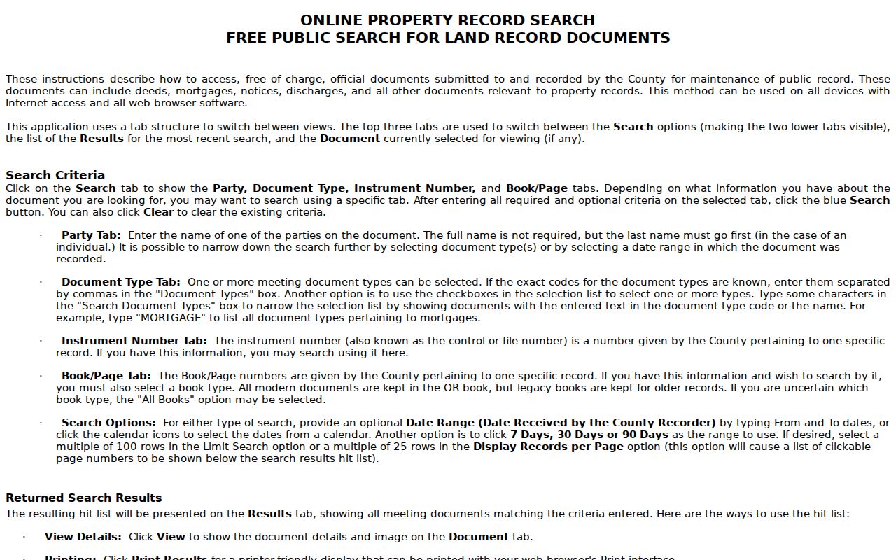
Changing search keys is useful when a party name is common or a street spelling differs from the recorded description.
Before 1960, move to the Morris County Clerk Records Vault at 10 Court Street in Morristown. The Vault is also the route for certified or non-watermarked copies; Clerk records help is available at 973-285-6747, Monday through Friday, 8:00 to 4:30. An online blank is a cutoff issue, not evidence that a prior owner never existed.
Rockaway Township Address Records
Address-keyed records can answer different parts of a Rockaway Township street-research question. The Tax Board provides the current assessment route. GIS provides the map and parcel relationship. The Clerk provides recorded parties and instruments. Local permits may add dates of work and applicant or owner information. An individual voter result has narrower value: it can confirm a registration status for a named person, but it is not a way to enumerate a street.
| Address record | Search key | What it adds | Access |
|---|---|---|---|
| Tax Board property location | Year, district, street, optional number | Current parcel and tax-owner route | Public portal |
| Current or prior block/lot | Block, lot, qualifier | Stable tax key through parcel changes | Public portal |
| County GIS | Address, owner, parcel ID, map | Geometry, PIN, tax sheet, and layers | Public map, beta warning |
| Clerk deed index | Party, document, date, book/page, parcel | Recorded party and deed chain | Free index from 1960 |
| Permit lead | Address, owner/applicant, block/lot | Dated work and filing context | SDL or municipal route, coverage unverified |
| Voter status | Name and month/year of birth | Individual registration check | Not a street roster |
Use a parcel number to connect tax and GIS work to the Clerk. Use a street name to orient the search. Do not use either to imply that the resulting records identify every person at the address.
Rockaway Township Permit Trail
Rockaway Township Planning, Zoning, Engineering, and Construction provide a second address trail when the question concerns dated work, a subdivision, or a land-use filing. The township Engineering page provides 2018 tax maps, street maps, and a zoning map. A zoning permit application identifies applicant and owner details, property address, block, lot, zone, work description, and a survey or plot-plan requirement for certain work. The application form itself is not evidence that a named person lived at the property.
The Rockaway Township Planning page provides the local planning and land-use contact route.
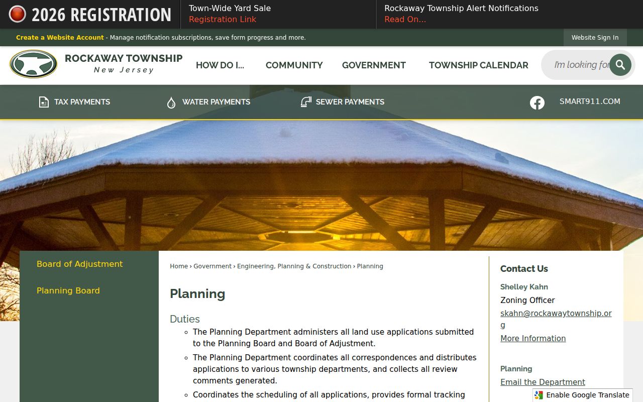
Planning records can place a date and property key beside a filing without resolving who occupied the address.
The advertised SDL Citizen portal says it can search properties and existing or past permits using full or partial owner information. Its live results, field inventory, date coverage, and public availability were not verified in the research. Contact the appropriate township department before relying on the portal for a complete permit history.
Rockaway Township Street Map Dates
Maps are valuable for a Rockaway Township address trail when a record uses a historic village name or an unfamiliar parcel description. Engineering supplies the township’s 2018 tax, street, and zoning maps. Morris County also adopted an updated official county map on December 17, 2025, announced January 8, 2026. These are location tools. They can help reconcile roads, parks, and visible street context, but the Tax Board and Clerk remain the sources for current parcel and recorded-document verification.
The Rockaway Township Engineering page is the public route for the township’s tax, street, and zoning map materials.
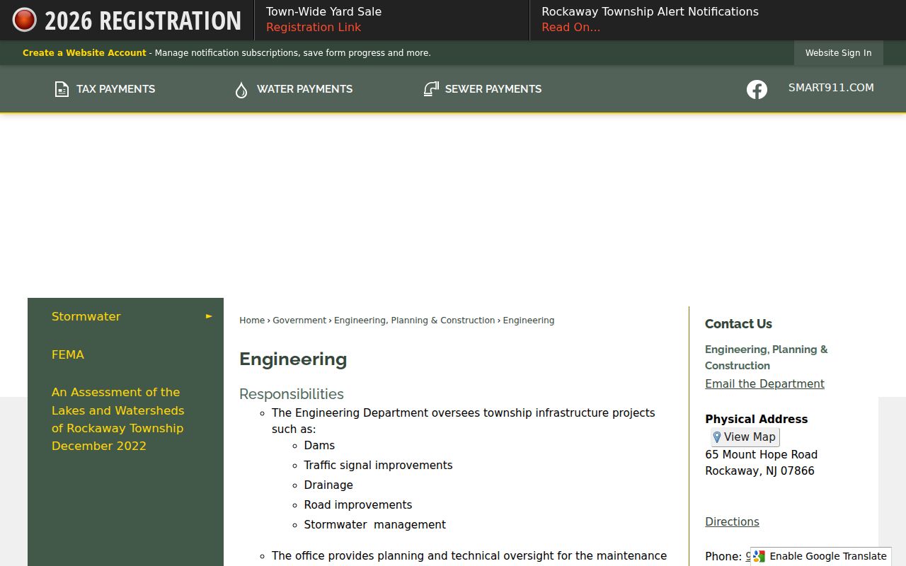
A dated map is most useful when kept beside the dated Tax Board or Clerk result it helped interpret.
For a pre-modern address, the 1868 Morris County map can bridge historic street and village terms. No official dated comprehensive street-renumbering or renaming table was located, so do not assume that a modern street label proves an old one-to-one match.
Rockaway Township Voter Check Limits
New Jersey’s public voter lookup is a name-and-month/year-of-birth status check. It is not a by-street tool. Public election material remains subject to redaction of signatures, Social Security numbers, driver-license or non-driver-ID numbers, and protected voter information. Morris County’s polling-location information can show district geography and makes the postal overlap visible, but it does not publish a neighborhood roster.
For a defined voter-file question, contact the Morris County Board of Elections at 973-285-6715 or elections@co.morris.nj.us. The research did not locate a standalone county request form, fee schedule, delivery format, or confirmed street-level public fields. A focused request must still respect Title 19 and OPRA privacy rules.
Note: Voter status can support one identity check, but it does not establish that all people at an address are registered voters.
Rockaway Township Postal City Trap
Rockaway Township street records can use several postal headings. Official township-facing examples include Rockaway 07866, Dover 07801, and Newfoundland 07435. Hibernia, Green Pond, Mount Hope, Marcella, and Port Oram may also occur in historical or postal material. A reader who searches only the postal city may miss the Rockaway Township district, or may mistake Rockaway Borough for the Township.
Normalize a result with USPS ZIP Lookup or New Jersey’s municipality address lookup before using it in a Tax Board search. Then compare its municipality, situs street, block/lot, and parcel ID. This three-part check, legal municipality, postal city, and source-era heading, is the best guard against an address match that looks right but belongs to a different Rockaway jurisdiction.
Rockaway Township Street Directory Limits
A Rockaway Township street directory cannot reveal every person who lives along a road. Tax records identify owners and parcel keys. Deeds identify recorded parties. Parcel maps identify geometry. Permits identify applicants or owners when accessible. Historic directories may identify a past occupant. Those are separate record purposes. Utility customers, delivery recipients, visitor information, motor-vehicle address records, and protected addresses are not ordinary public street-index fields.
For former occupants, use the verified Boyd, Vogt Bros., and Richmond county directory years as a library lead, then compare newspapers, census schedules, maps, and the deed chain. No verified Rockaway Township criss-cross directory volume was located, so a shelf survey or librarian inquiry is safer than claiming one exists. The historical collection is discussed in the Rockaway Township Directory Book.